Flood Assessment Reporting
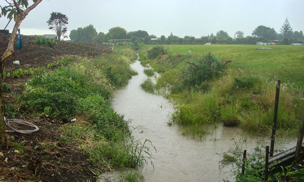
Fraser Thomas provides designs, advice and recommendations to protect your property from the risk of flooding.
The Fraser Thomas team have been providing surveying services for over 50 years . We pride ourselves in providing a service which is completed in a timely manner and within budget to ensure that we add value to your project.
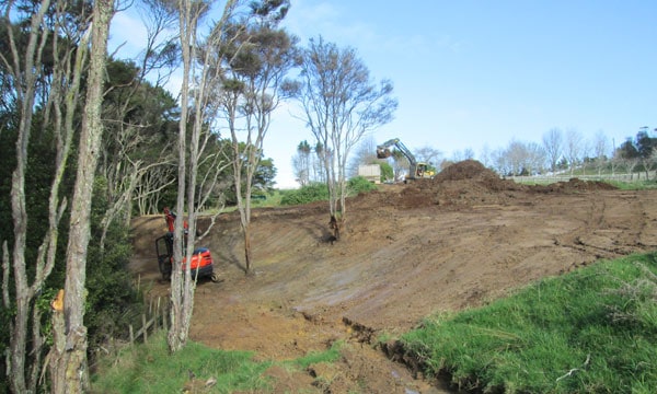
A Topographical or Topo Survey is a survey of the ground levels and significant features on a site. From this information, we produce a plan showing such things as ground levels, contours, buildings, utilities/services, roads, legal boundaries, trees and any other features relevant to the future development of the site.
This information can be used for engineering designs and plans, which form the basis of a scheme plan showing a proposed subdivision. Scheme plans are submitted to Council as part of a resource consent application. If the project includes proposed new dwellings, the topographical survey is used by the architectural designer to prepare plans.
Cadastral Surveys establish and re-establish real property boundaries. It is an important component of the legal creation of properties. Cadastral title plans show a property’s legal boundaries, area and dimensions.
The title sheet of a cadastral survey plan shows the plan deposited when the title was created. This could be a simple plan of the property’s boundaries, area and dimensions, a detailed survey plan or a combination of both.
Engineering Surveys are done after work is completed to prove that the positions are correct, these include:

| Cookie | Duration | Description |
|---|---|---|
| _GRECAPTCHA | 5 months 27 days | This cookie is set by the Google recaptcha service to identify bots to protect the website against malicious spam attacks. |
| cookielawinfo-checkbox-advertisement | 1 year | Set by the GDPR Cookie Consent plugin, this cookie is used to record the user consent for the cookies in the "Advertisement" category . |
| cookielawinfo-checkbox-analytics | 11 months | This cookie is set by GDPR Cookie Consent plugin. The cookie is used to store the user consent for the cookies in the category "Analytics". |
| cookielawinfo-checkbox-functional | 11 months | The cookie is set by GDPR cookie consent to record the user consent for the cookies in the category "Functional". |
| cookielawinfo-checkbox-necessary | 11 months | This cookie is set by GDPR Cookie Consent plugin. The cookies is used to store the user consent for the cookies in the category "Necessary". |
| cookielawinfo-checkbox-others | 11 months | This cookie is set by GDPR Cookie Consent plugin. The cookie is used to store the user consent for the cookies in the category "Other. |
| cookielawinfo-checkbox-performance | 11 months | This cookie is set by GDPR Cookie Consent plugin. The cookie is used to store the user consent for the cookies in the category "Performance". |
| CookieLawInfoConsent | 1 year | Records the default button state of the corresponding category & the status of CCPA. It works only in coordination with the primary cookie. |
| elementor | never | This cookie is used by the website's WordPress theme. It allows the website owner to implement or change the website's content in real-time. |
| viewed_cookie_policy | 11 months | The cookie is set by the GDPR Cookie Consent plugin and is used to store whether or not user has consented to the use of cookies. It does not store any personal data. |
| Cookie | Duration | Description |
|---|---|---|
| _ga | 2 years | The _ga cookie, installed by Google Analytics, calculates visitor, session and campaign data and also keeps track of site usage for the site's analytics report. The cookie stores information anonymously and assigns a randomly generated number to recognize unique visitors. |
| _gat_gtag_UA_23539237_1 | 1 minute | Set by Google to distinguish users. |
| _gid | 1 day | Installed by Google Analytics, _gid cookie stores information on how visitors use a website, while also creating an analytics report of the website's performance. Some of the data that are collected include the number of visitors, their source, and the pages they visit anonymously. |